Utah’s Highway 12

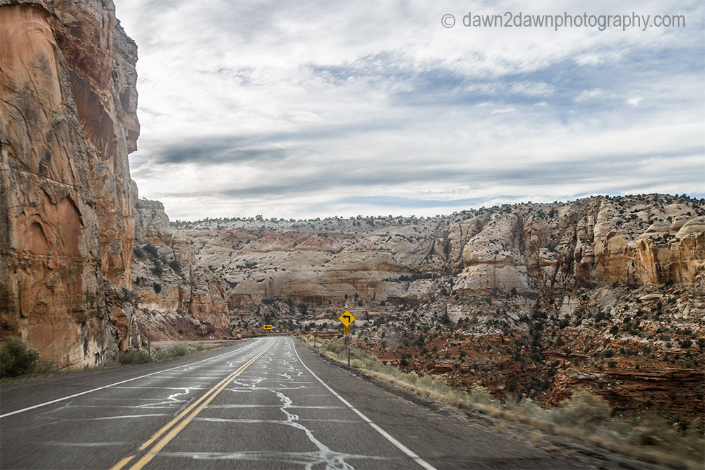
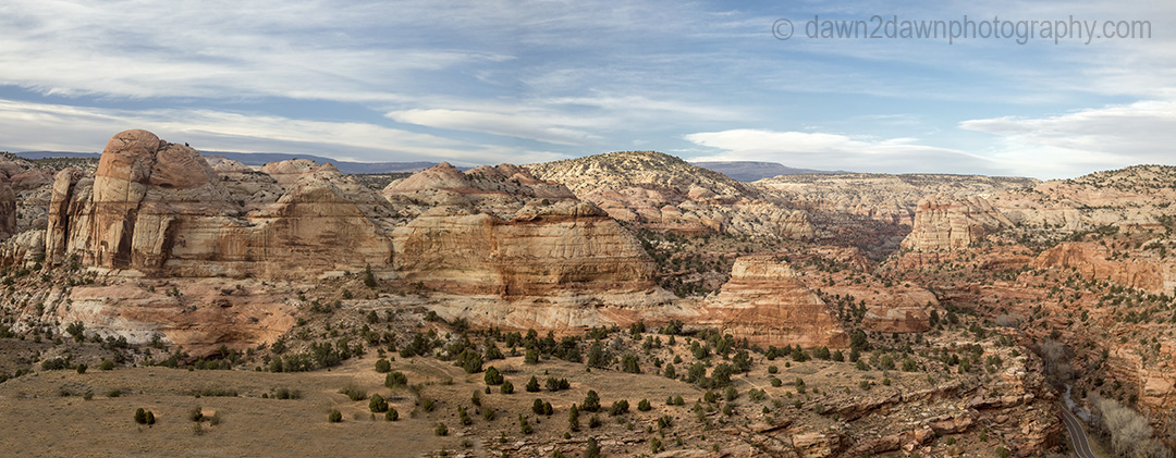
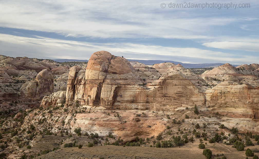
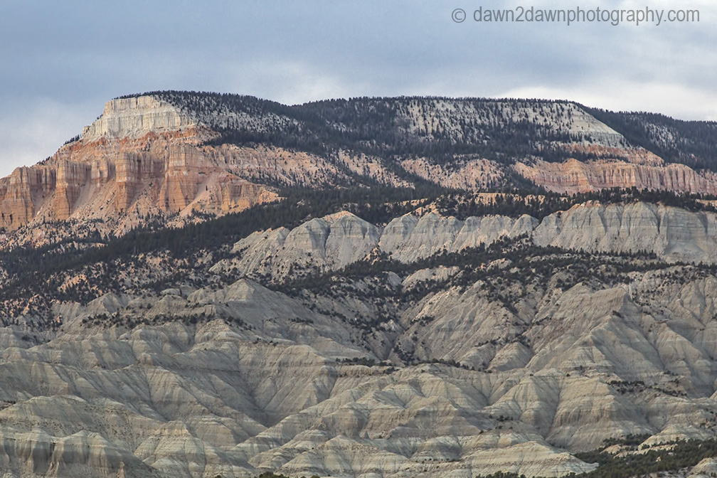
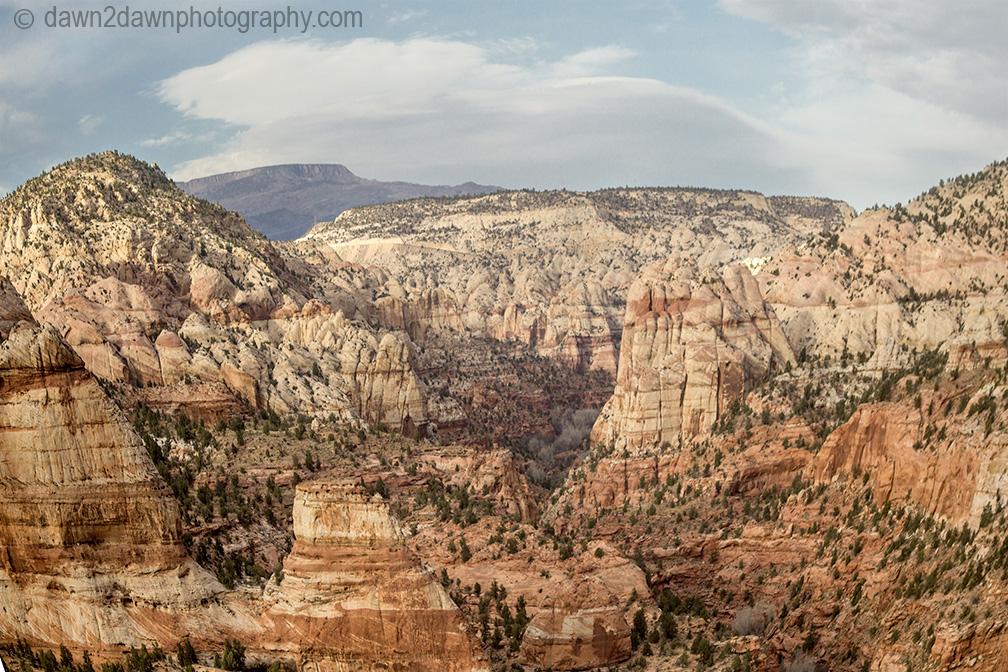
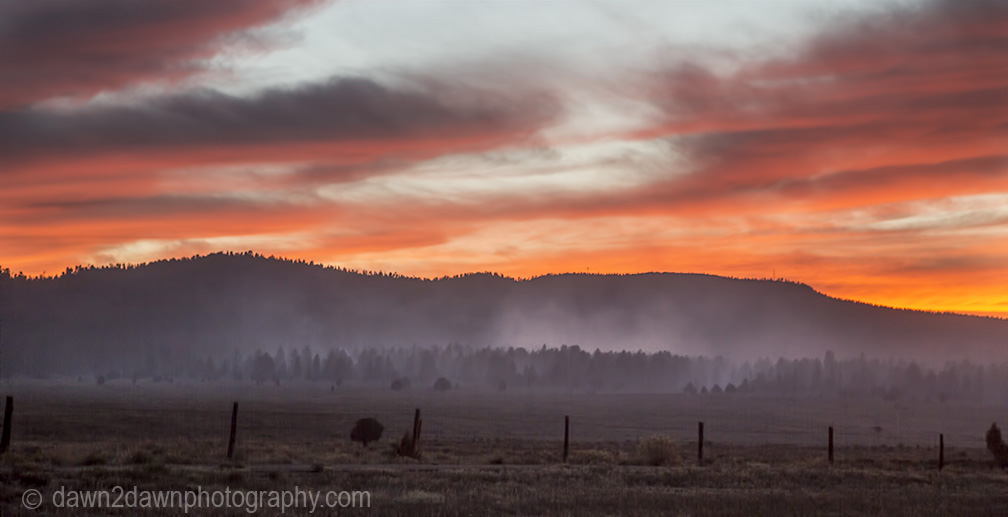
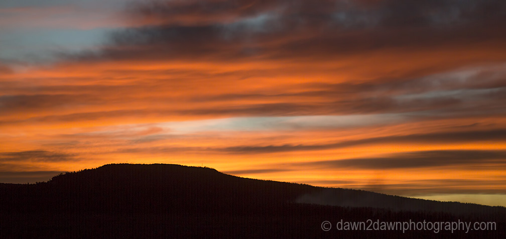
State Route 12 is another scenic highway in Southern Utah. It is listed as one of Utah’s Scenic Byways.  It starts near Capitol Reef National Park, ascends the Dixie National Forest to an elevation nearing 10,000 feet, and ends near Bryce Canyon National Park. Here’s just a few images I took when I traveled Highway 12 a few weeks ago.
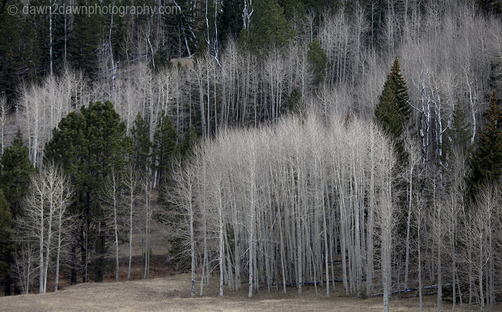
 

Unusual sandstone rock formations are seen along Utah's rural Highway 12.
Unusual sandstone rock formations are seen along Utah’s rural Highway 12 along Calf Creek.


Unusual sandstone rock formations are seen along Utah's rural Highway 12.


Unusual sandstone rock formations are seen along Utah's rural Highway 12.


Aspen trees along Utah's Highway 12 in the Dixie National Forest near Boulder Mountain.
Aspen trees along Utah’s Highway 12 in the Dixie National Forest near Boulder Mountain.


Unusual sandstone rock formations are seen along Utah's rural Highway 12.


Unusual sandstone rock formations are seen along Utah's rural Highway 12.


Unusual sandstone rock formations are seen along Utah's rural Highway 12.


The sun sets amongst a brush fire in rural Utah.
The sun sets amongst a smoldering brush fire in rural Utah.


The sun sets at the Needles District at Canyonlands National Park, Utah
Near Bryce Canyon National Park.

3 responses to “Utah’s Highway 12”

Leave a Reply

Fill in your details below or click an icon to log in:

WordPress.com Logo

You are commenting using your WordPress.com account. Log Out /  Change )

Facebook photo

You are commenting using your Facebook account. Log Out /  Change )

Connecting to %s

Blog at WordPress.com.

%d bloggers like this: