Eureka Valley is located within Death Valley National Park and was added to the park when Death Valley became a national park in 1994. Death Valley NP is now the largest national park in the lower 48 states at over 3.3 million acres, 50% more than Yellowstone. Ninety One per cent of the park is designated wilderness and Eureka Valley is definitely wilderness. It is approximately 28 miles long and up to 10 miles wide. Eureka Valley could be its own national park. The valley is known for its soaring sand dunes, the colorful Last Chance Range and views to the snow-capped White Mountains that reach some 14,000 feet into the air.
Clouds pass over Eureka Valley at Death Valley National Park, California
Eureka Valley, upper left on map, is a 2 hour drive from the center of Death Valley NP, mostly on dirt and gravel roads.
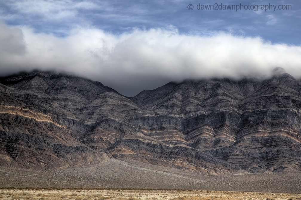
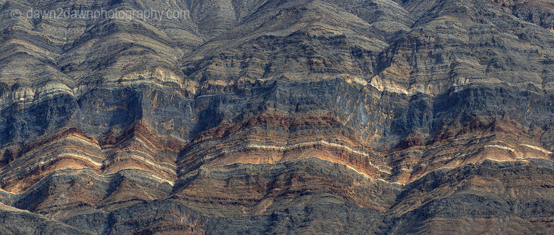
Colorful strata are the predominate feature of the aptly named Last Chance Range.
The snow-covered White Mountains as seen from Eureka Valley.
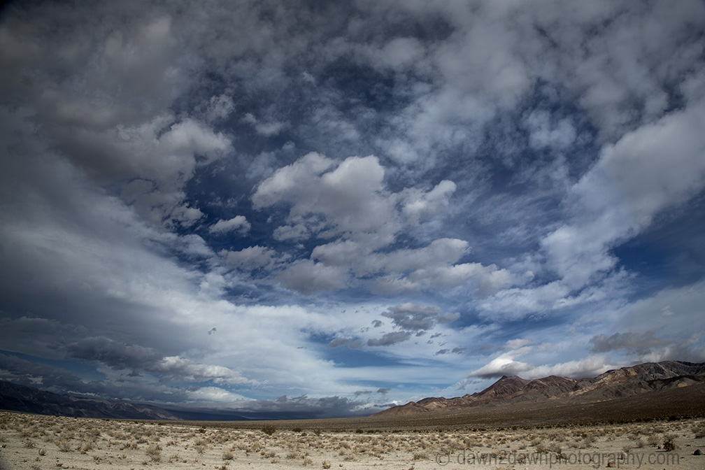
Lazy clouds pass over Eureka Valley.
A full moon lights up the landscape over Eureka Dunes.
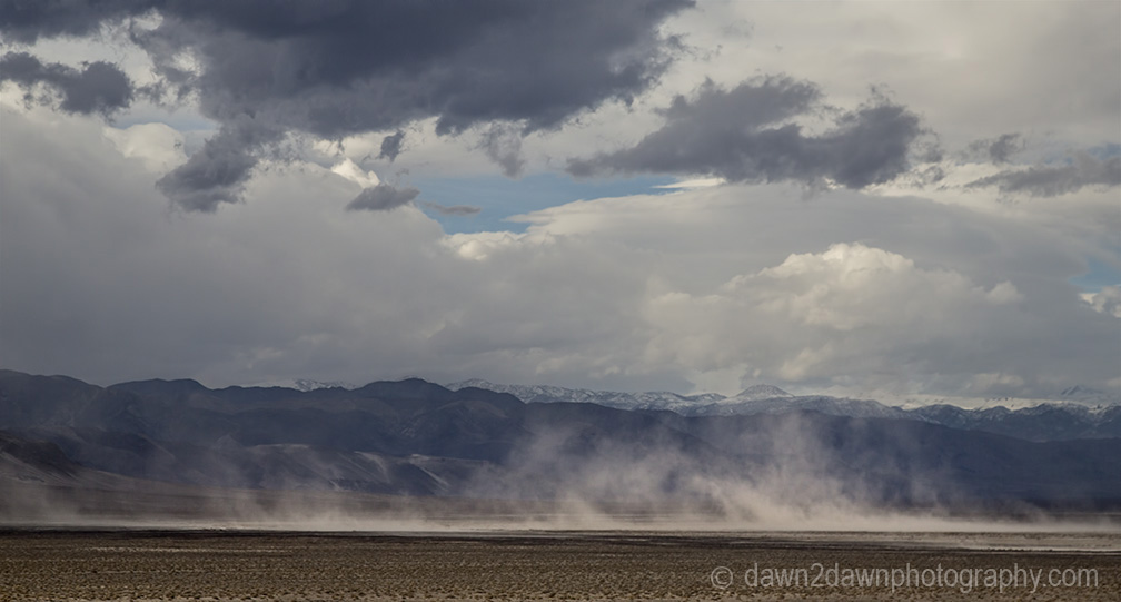
High winds kick up sand at Eureka Valley and eventually settles at the south end where the dunes reside.
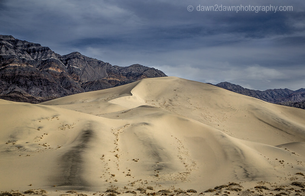
The dunes rise up to 700 feet, amongst the tallest in North America.
The dunes look rather insignificant in the grand scheme of things.
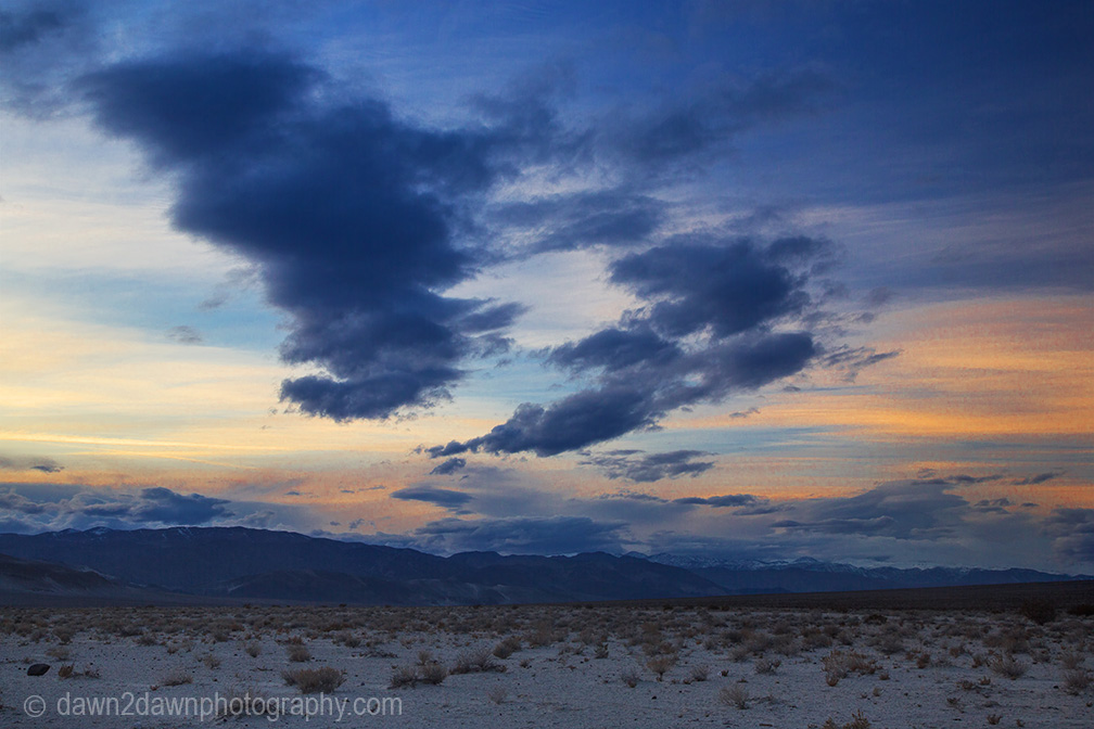
Sunset over the valley.
It’s amazing that anything grows or survives here.
Small mammals survive here by burrowing into the sand for relief. These nests are home to the kangaroo rat.
Rain makes an occasional appearance at Death Valley, but only a few inches annually.
Yes, I believe the far one on the right is White Mountain Peak. The left one is certainly Blanco Mountain, which is pretty distinctive. The one in the middle would be Sheep.


Just over the hill from my place – I love Eureka Valley! Very nice set, and that telephoto shot of the Whites is a nice bonus.
LikeLike
Thanks Jackson. I think White Mtn itself is in that shot.
LikeLike
Yes, I believe the far one on the right is White Mountain Peak. The left one is certainly Blanco Mountain, which is pretty distinctive. The one in the middle would be Sheep.
LikeLike
That’s what I was thinking. White Mtn, far right. I was to the top there one summer and there was still quite a bit of snow.
LikeLike
Remarkable landscape, I’m glad it has been protected. Your shots reveal just how special it is.
LikeLike
Thanks Eliza! More to come from Death Valley
LikeLiked by 1 person
Your work is awe-inspiring! 🙂
LikeLike
Thanks Phoebe!
LikeLiked by 1 person
Awesome cloudscape captures, as always! 🙂
LikeLike