
Badwater Basin at Death Valley National Park, is a landscape of extremes. Extreme temperatures, extreme elevation changes and extreme dryness. Because the basin is at an elevation of 282 feet below sea level, the average high temperature in July is 116 degrees F. The highest temperature ever recorded on Earth was 134 degrees at Death Valley in 1913. Little wonder that I and most others visit during the winter months.
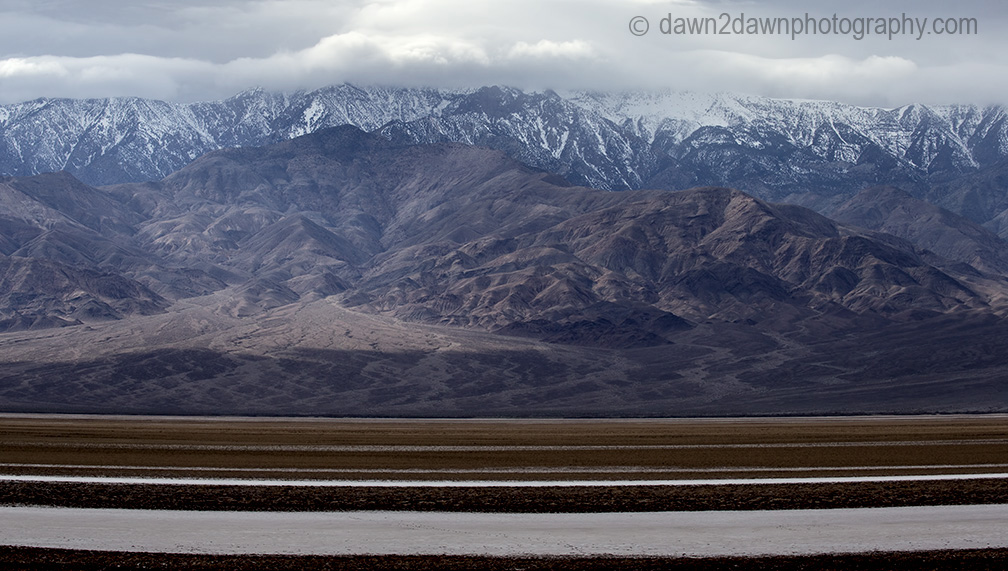
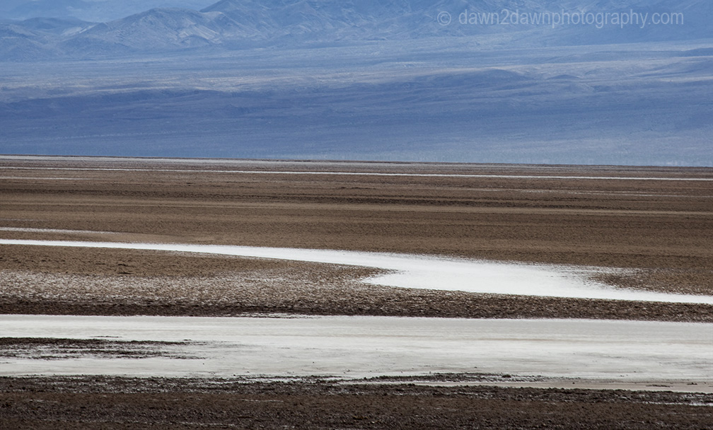
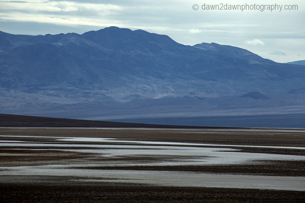
Badwater is surrounded by soaring peaks and eroded sandstone formations. Snow-covered Telescope Peak, standing at 11,049 feet, is quite a contrast to the salt flats at Badwater Basin. The salt flats are approximately 200 square miles in area and are formed when rain flushes minerals from the nearby hills and mountains to the flats of Badwater. The high heat and dryness ( DV only receives 2 inches of moisture annually) evaporates everything except the salt.


Great photos. Do companies collect salt from there aT all ?
LikeLike
Thanks Katelon. Before Death Valley became a national park, companies were mining the natural resources in the area including salt, copper and borax. Now it is illegal to take anything away from a national park
LikeLiked by 1 person
Amazing landscape! Great shots!
LikeLike
Thanks Amy!
LikeLike
Being there must be hell on the skin and eyes. I’m feeling parched just reading this! Love the the multi-colored hills, such amazing geological history laid bare.
LikeLike
It would be rough on your skin. great place to visit but wouldn’t want to live there.
LikeLiked by 1 person